Файл:BlankMap-World6, compact.svg
Перейти к навигации
Перейти к поиску

Размер этого PNG-превью для исходного SVG-файла: 800 × 353 пкс. Другое разрешение: 320 × 141 пкс.
Исходный файл (SVG-файл, номинально 940 × 415 пкс, размер файла: 1,46 Мб)
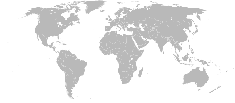
| Название: | BlankMap-World6, compact.svg | ||
| Описание: | Detailed SVG map with grouping enabled to connect all non-contiguous parts of a country's territory for easy colouring. Smaller countries can also be represented by larger circles to show their data easier. A thorough description of use and other instructions can be found on the instruction page for the non-compact map.
This is a more compact version of BlankMap-World6.svg where Antarctica has been removed. Please make any updates primaraly to the other map since this one should be keept as identical to the original as possible. | ||
| Тип: | |||
| Что изображено: | |||
| Автор: | Canuckguy et al. | ||
| Время создания: | 14-12-2007 | ||
| Источник: | Based on BlankMap-World6.svg by Canuckguy et al. | ||
| Размер: | 940×415 пикселей | ||
| Отношение сторон: | 2,2650602409639 | ||
| Формат: | SVG | ||
| Лицензия: | I claim no copyright for the edits to the original map thus the license remains:
|
История файла
Нажмите на дату/время, чтобы увидеть версию файла от того времени.
| Дата/время | Миниатюра | Размеры | Участник | Примечание | |
|---|---|---|---|---|---|
| текущий | 14:40, 12 марта 2008 | | 940 × 415 (1,46 Мб) | Яковёнок (обсуждение | вклад) | {{commons-image}} {{Information |Description=Detailed SVG map with grouping enabled to connect all non-contiguous parts of a country's territory for easy colouring. Smaller countries can also be represented by larger circles to show their data easier. A |
Вы не можете перезаписать этот файл.
Использование файла
Следующая страница использует этот файл: