Файл:BlankMap-World-v2.png
Перейти к навигации
Перейти к поиску

Размер этого предпросмотра: 800 × 351 пкс. Другие разрешения: 320 × 140 пкс | 1425 × 625 пкс.
Исходный файл (1425 × 625 пкс, размер файла: 29 Кб, MIME-тип: image/png)
Summary[править | править код]
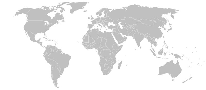
map from wikipedia, summary there:
A blank map of the world as of 2005, with country outlines. Sovereign microstates less than 2 500 km² in area are depicted as circles (see Wikipedia:Image_talk:BlankMap-World-v2.png for listing). The map uses the Robinson projection centered on the Greenwich Prime Meridian.
The map was made by User:Vardion and adapted by User:E Pluribus Anthony for Wikipedia.
See also Image:BlankMap-World-v3.png which has countries joined by thin lines to make easier for one-click coloring.
Licensing[править | править код]

|
Изображение распространяется на условиях GNU FDL Имеется разрешение на копирование, распространение и/или изменение этого документа на условиях лицензии GNU FDL версии 1.2 или более поздней, изданной Free Software Foundation. См. также Традиция:Отказ от ответственности |
История файла
Нажмите на дату/время, чтобы увидеть версию файла от того времени.
| Дата/время | Миниатюра | Размеры | Участник | Примечание | |
|---|---|---|---|---|---|
| текущий | 16:30, 8 марта 2008 | | 1425 × 625 (29 Кб) | Яковёнок (обсуждение | вклад) | {{commons-image}} == Summary == thumb|250px|Map marking the microstates for reference (the map is a slightly different version, but the locations of most of the small states are the same) map from wikipedia, s |
Вы не можете перезаписать этот файл.
Использование файла
Нет страниц, использующих этот файл.